Mostly cloudy and cooler conditions on the way for the weekend
Meteorologist Dillon Gaudet has the latest in your ABC 36 Storm Team forecast
A cold front passed through the region on Thursday, bringing cooler conditions for the Bluegrass. The cooler conditions will be accompanied by mainly cloudy skies with isolated rain chances. Friday looks like the driest day of the bunch, though a stray shower or two will be possible, mainly in eastern Kentucky. Afternoon highs will struggle to reach the mid-to-upper 70s. If you’re heading to high school football Friday evening, you can expect temperatures in the mid-70s at kickoff before falling into the low 70s by halftime.
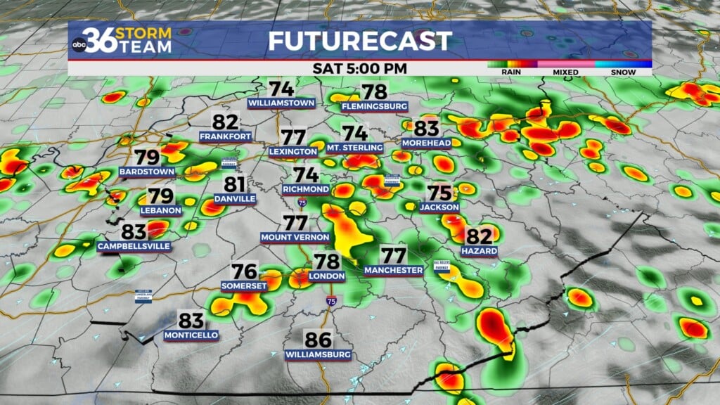
An upper level low parks itself just to our south over the weekend. This keeps the cloud cover, daily isolated rain chances, and below-average temperatures around. The best chance of rain will be in eastern Kentucky, but central Kentucky will still see a few stray showers. If you’re looking for some sunshine, Sunday afternoon will be your best best as the pattern begins to breakdown.
Next week starts off fantastic, before another stronger cold front sweeps through the eastern US mid-week. This will bring us mid-week rain chances and then likely drop our temperatures well-below average. Afternoon highs Wednesday and Thursday will struggle to reach the low-70s. Overnight lows could drop into the upper 40s and low 50s as well. If you’re a fan of Fall-like weather – you’ll love next week’s forecast!