Sunny & warm conditions continue Wednesday
Meteorologist Dillon Gaudet has the latest in your ABC 36 Storm Team forecast
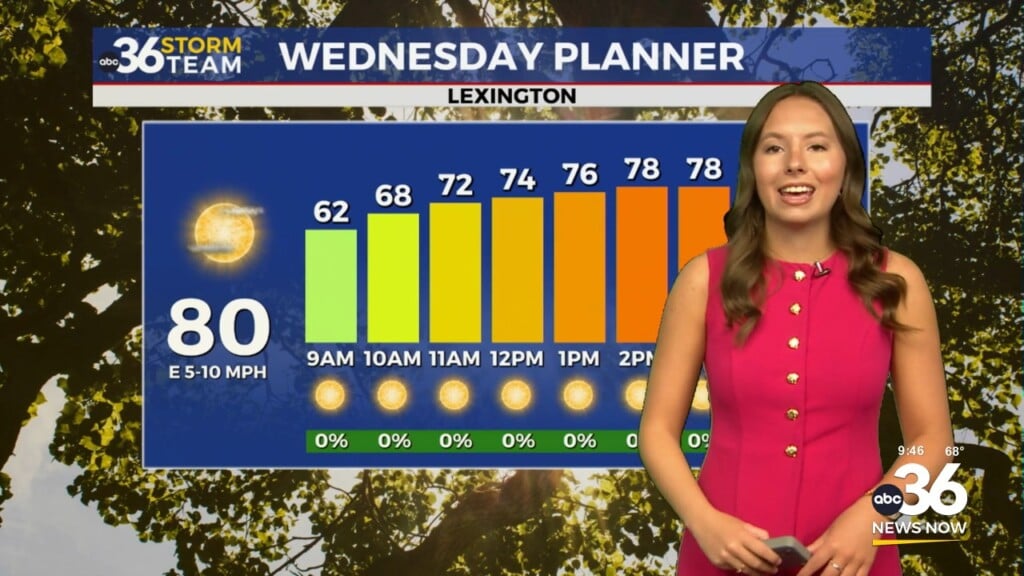
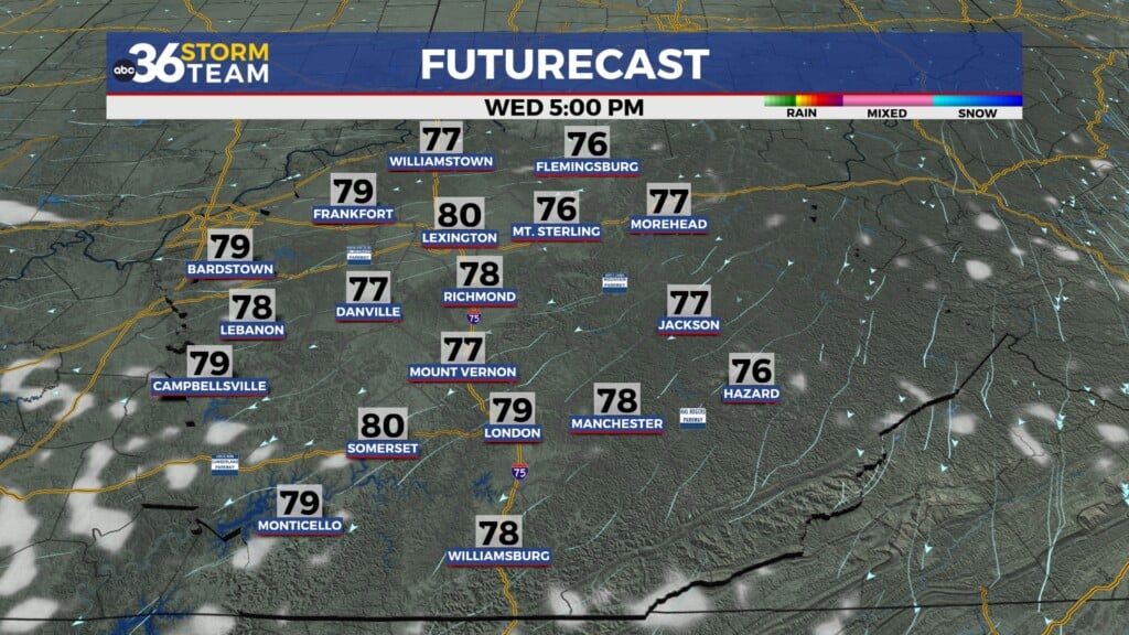
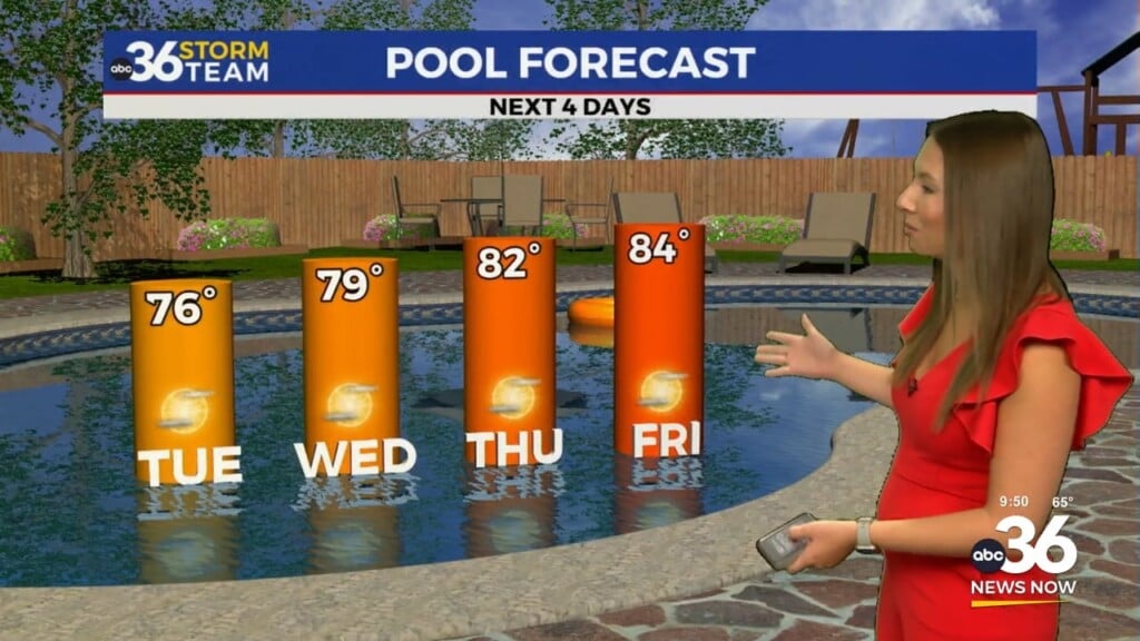
Yet another sunny day is in the forecast for your Wednesday as temperatures continue to climb. Afternoon highs will reach the mid-to-upper 70s, a step up from the low-to-mid 70s yesterday. Thursday will be the warmest day of the week with temps climbing into the low 80s for many across the region.

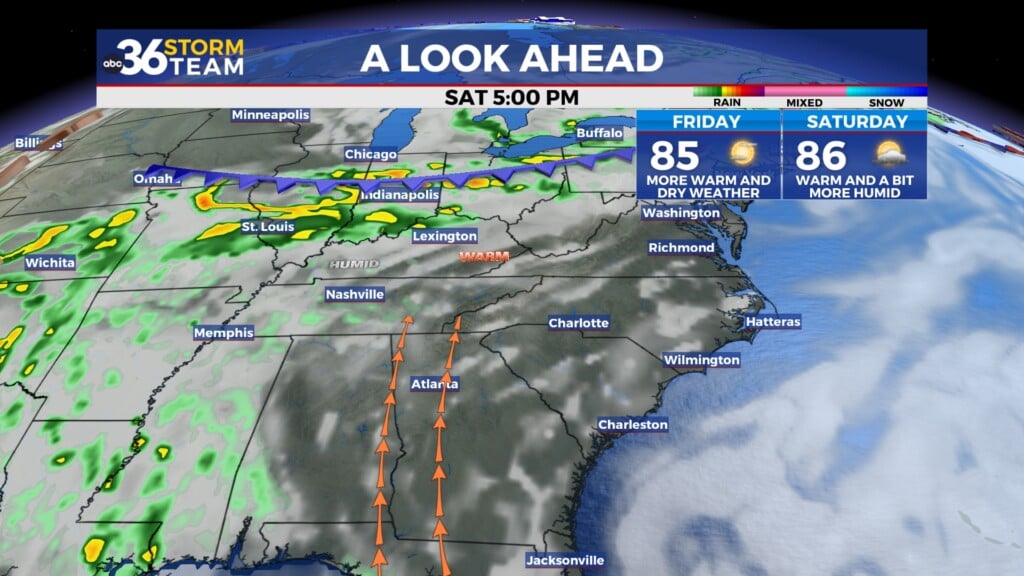
A weak system will move into the region on Friday bringing an end to our dry stretch for some. It won’t be a complete washout but isolated showers will be possible throughout the day. Temperatures will also be a few degrees cooler, into the low-to-mid 70s. Warmer temperatures and an isolated storm threat returns on Saturday ahead of a cold front that will push through on Sunday. Temps will climb into the upper 70s once again as a southwesterly breeze increases.

A cold front will push through the region on Sunday. Rain showers and a few storms will be possible along and ahead of the front as it passes. Earlier arrival of the front, will likely mean a lower threat of storms, but cooler temperatures by the afternoon behind the front. A later arrival of the front would increase the storm threat for us here in central Kentucky. Cooler conditions move in behind the front to start next week. It won’t be cold by any means but upper 50s and low 60s will be possible Monday and Tuesday.
The ABC 36 Storm Team is on your side.
ABC 36 HOUR FORECAST
WEDNESDAY: Sunny skies and warm. Highs in the upper 70s.
WEDNESDAY NIGHT: Mostly clear and not as cold. Lows in the upper 40s.
THURSDAY: Mostly sunny skies and warm. Highs in the low 80s.