A “Go Day” for Thursday ahead of more weekend rain
Calm conditions remain through the end of the week before rain returns for the weekend
Happy Thursday everyone! Fantastic conditions are on the way for your day today. It’s a Dillon Gaudet “Go Day”, which means it a great day to go outside and enjoy the nice weather conditions. Temperatures will be feeling quite comfortable. Afternoon highs will be struggling to reach the low 80s. Drier air is in place as well, bringing a fall-like feel to the air. Lots of sunshine is on the way as well with just a few clouds.
Calm conditions continue tonight as lows will fall into the upper 50s and low 60s. We stay mainly dry on Friday outside of a small chance of a shower into far southern Kentucky. Temperatures climb a bit warmer than Thursday, into the mid-80s. More cloud cover should be expected as well, especially in the 2nd half of the day.
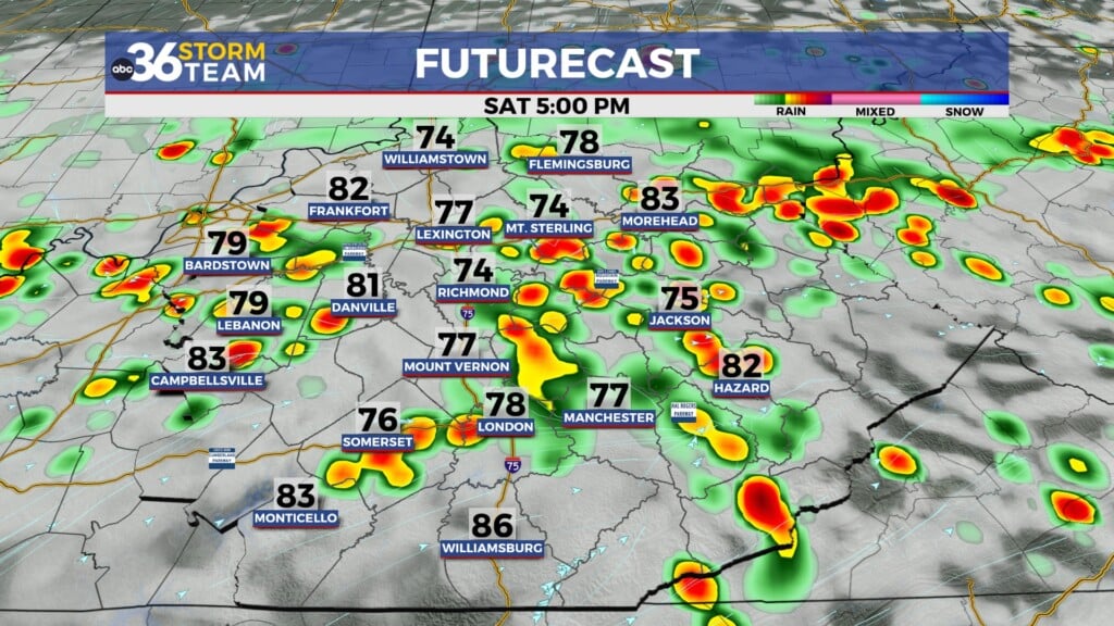
Active weather returns for the weekend. Scattered rain showers and storms will push in from the south on Saturday. Heavy rain could result in isolated instances of flash flooding during the day Saturday. Rain returns to the forecast on Sunday ahead of a cold front that will be pushing through early next week. This cold front, interacting with a strong upper-level low pushing through the region, will keep our temperature well-below average through the middle of next week. Stay with the ABC 36 Storm Team for more details.
ABC 36 HOUR FORECAST
THURSDAY: Mostly sunny and quiet. Highs near 80.
THURSDAY NIGHT: Mostly clear with patchy valley fog. Lows near 60.
FRIDAY: Clouds increasing, warmer. Highs in the mid-80s.