Weak storm system to bring isolated showers and thunderstorms Sunday and Monday
A passing low-pressure system will renew the chance for showers and thunderstorms Sunday and Monday
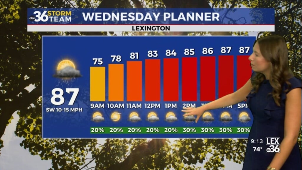
We had another stellar weather day Saturday with temperatures a few degrees below average and dew points staying at a comfortable level. The official high in Lexington was 84 degrees.

Overnight tonight, clouds will increase as our next storm system approaches us from the west. Morning lows on Sunday will be noticeably warmer, returning to the low 60s.

As low-pressure arrives in the Bluegrass state, developing rain showers will have to overcome a fairly dry air mass. For that reason, rain may have difficulty reaching the ground during the first half of Sunday.

Eventually, the air will become saturated enough to support a few isolated showers and thunderstorms, especially across central Kentucky. It won’t be a washout, but if you have outdoor plans, be sure to stay up to date with the weather forecast.

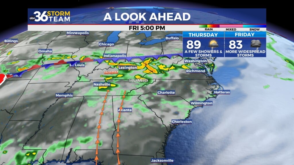
Showers and perhaps even a few thunderstorms will linger into Monday before we dry out on Tuesday. There will be a few systems to watch throughout the work week, though most of them stay west of the region, so we’ll keep the forecast dry for now.

ABC 36 HOUR FORECAST
SATURDAY NIGHT: Increasing clouds. Lows in the low 60s.
SUNDAY: Isolated showers and t-storms. Highs in the low 80s.
SUNDAY NIGHT: A few showers and thunderstorms early . Lows in the mid to upper 60s.