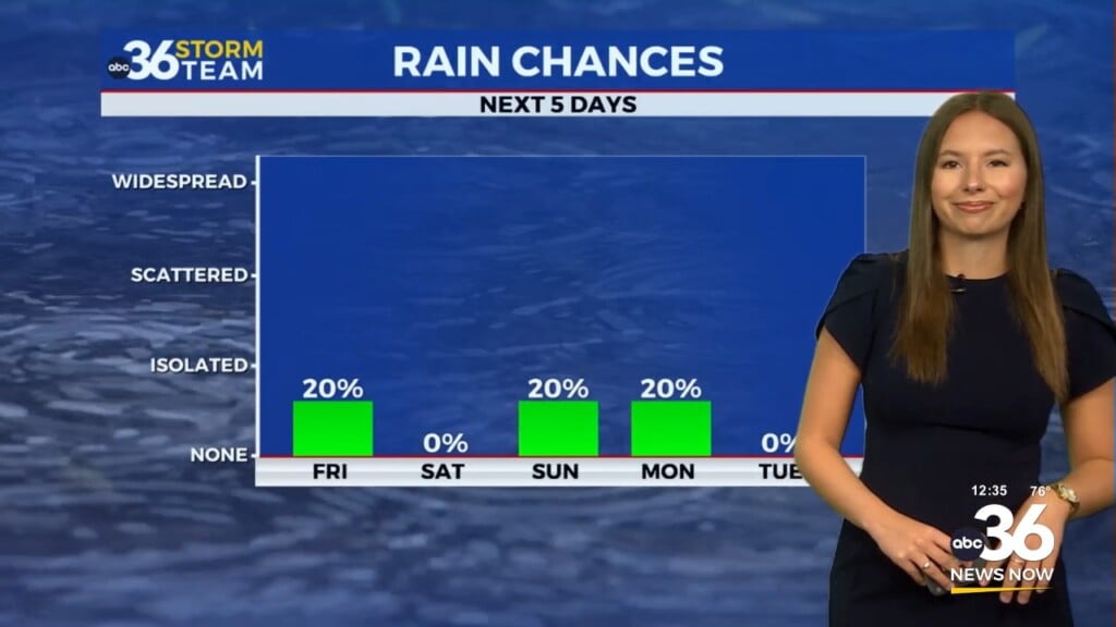
On and off showers and thunderstorms possible all week
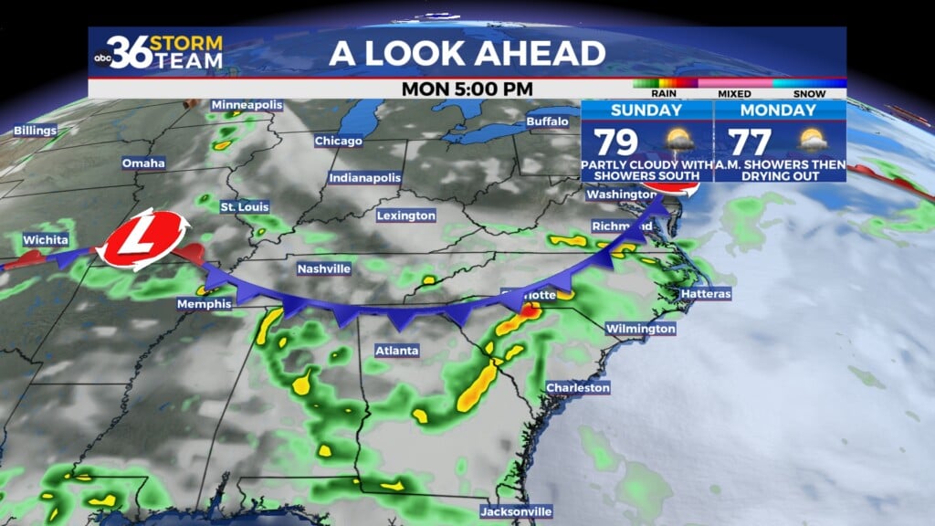
A stationary front will set up over central Kentucky this week, bringing the return of showers and thunderstorms.
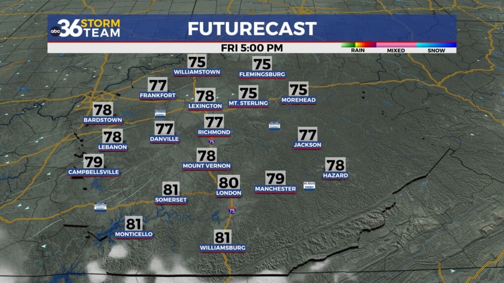
Showers and thunderstorms on Monday afternoon look to be most widespread across southern Kentucky. No severe weather is expected, but gusty winds and small hail are possible.

The rain over the next few days will help to cool temperatures, but it will remain muggy since the front has yet to move through the region.

We might see a break from the rain Monday night, but by Tuesday morning, a weakening line of thunderstorms will enter the Bluegrass. This sets us up for another unsettled day.

There is a low-end severe weather risk on Tuesday, primarily for the threat of damaging wind gusts.

Rain chances will continue into Wednesday and Thursday before the front finally moves through. We can expect to see 1-2″ of rain with locally higher totals out of this system.

ABC 36 HOUR FORECAST
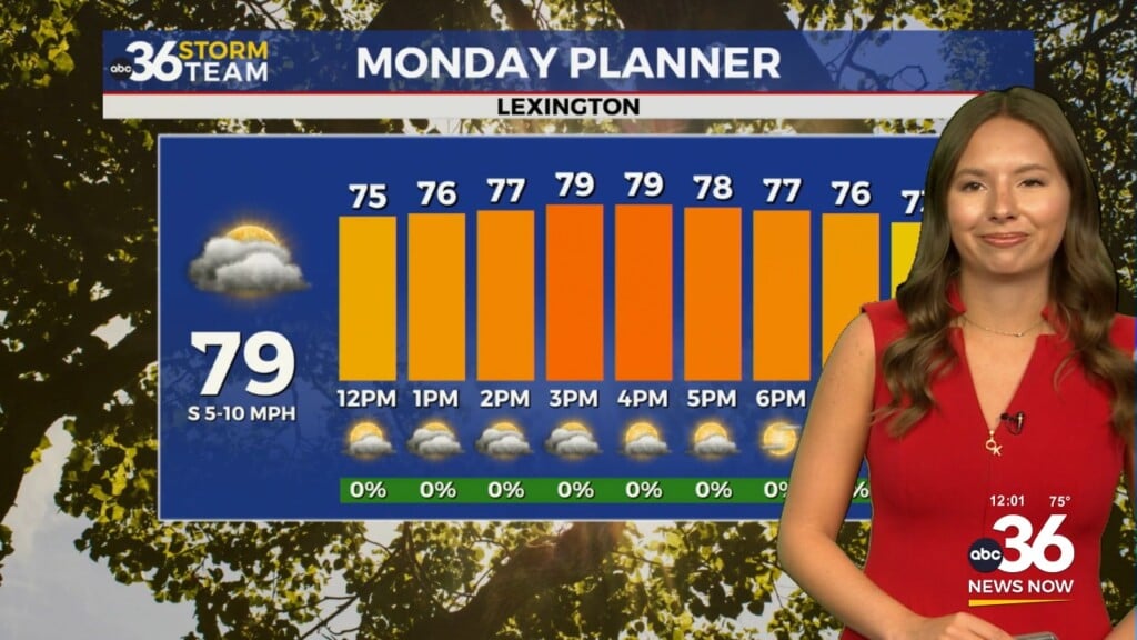
MONDAY: Showers and thunderstorms. Highs in the mid-80s.
MONDAY NIGHT: Mostly cloudy with isolated showers and storms. Lows in the upper-60s and low-70s.
TUESDAY: Showers and thunderstorms likely. Highs in the low 80s.