Strong-to-severe storms possible Thursday
After morning rain showers disrupted the a.m. commute, strong-to-severe storms are possible Thursday afternoon and evening.
 Another chance of severe storms in the forecast for your Thursday. Latest data suggests strong-to-severe storms will be possible during the late afternoon and evening. Damaging wind gusts is the primary threat, but an isolated tornado and localized flooding will also be possible.
The Level 2 Severe Risk has expanded yet again. A 5% tornado risk has also been added for a large portion of the ABC 36 Viewing area. The time frame of the strong storm development will roughly after 4 p.m. CAPE (storm energy) peaks during this time. If we get some clearing in the clouds around this time, expect some strong storms with possible rotation to develop. If we don’t get as much clearing this afternoon, this will greatly reduce our threat for the stronger storms to develop.

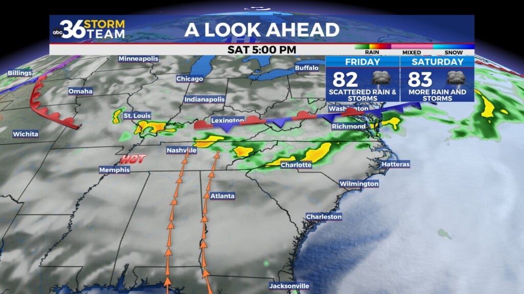
The upper-level low will responsible for this active pattern will finally pass to our east late Friday into Saturday. This will allow for a ridge of high pressure to build over the region, brining us warmer and drier conditions heading into the Memorial Day holiday.