The “Luck” of the Irish Will be With us.
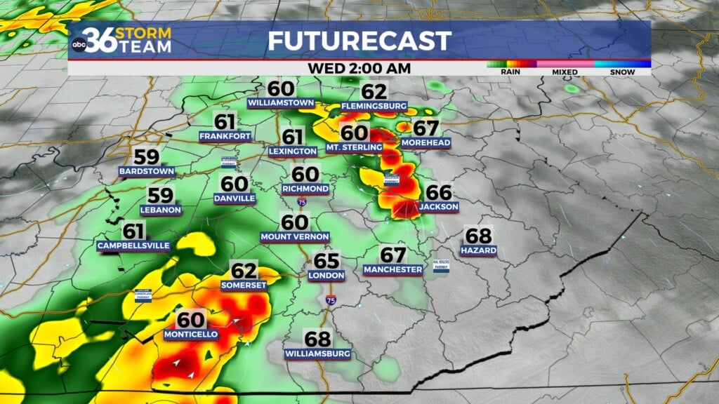
Likely our Nicest Day Ahead. Jeff Andrews Looks at the Next Widespread Rain Chance
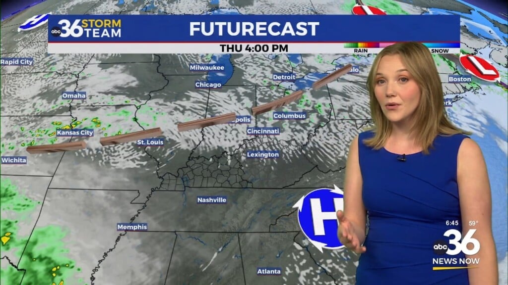
We will generally see more sun on St. Patrick’s Day, and far southern and southeastern Kentucky could see more clouds, due to a departing (to the NE) system.
Tonight: Partly cloudy. Light winds. A mild low of 50.
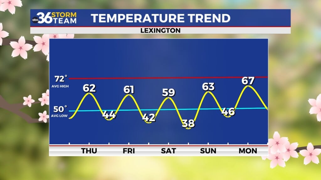
Thursday- Partly-mostly sunny for St. Patrick’s Day and a high near 72
Friday- partly sunny with an 80% chance of scattered showers. A high of 66
Saturday: Mostly cloudy becoming partly cloudy and a cooler high of 55.
Sunday: Mostly sunny and a high of 64
Monday: Partly cloudy and a high of 69.
Tuesday: a 50% chance of showers. A high of 64
Wednesday: a 70% chance of showers and a high of 67.
Thursday: Partly cloudy and a bit cooler. A high of 59
Today in weather history:
83° in 1945 for Lexington. 78° in 2015 for Jackson. In 1982, a severe thunderstorm produced an EF-1 tornado and moved from Clark-Morgan County. Some buildings were destroyed, 2 injured. the path was 8 miles wide.
1986 – A small but rare tornado touched down perilously close to Disneyland in Anaheim CA. (Storm Data)
1987 – Softball size hail caused millions of dollars damage to automobiles at Del Rio TX. Three persons were injured when hailstones crashed through a shopping mall skylight. (The National Weather Summary) (Storm Data) (The Weather Channel)
1988 – A winter storm produced heavy snow in the Central Rockies. Winds gusted to 80 mph at Centerville UT. Eighteen cities in the southeastern U.S. reported new record low temperatures for the date, including Tallahassee FL with a reading of 24 degrees. (The National Weather Summary)
1989 – A winter storm brought heavy snow and high winds to the southwestern U.S. Winds gusted to 60 mph at Lovelock NV, Salt Lake City UT, and Fort Carson CO. Snow fell at a rate of three inches per hour in the Lake Tahoe area of Nevada. (The National Weather Summary) (Storm Data)
1990 – Thunderstorms developing ahead of a cold front produced large hail and damaging winds from northwest Florida to western South Carolina. Thunderstorm winds gusted to 75 mph at Floridatown FL. Sixteen cities across the northeastern quarter of the nation reported record high temperatures for the date. The afternoon high of 78 degrees at Burlington VT smashed their previous record for the date by 23 degrees. New York City reported a record high of 82 degrees. (The National Weather Summary) (Storm Data)


