Warm midweek ahead of storm threat on Thursday
Gusty winds move in Wednesday ahead of storms in the forecast for Thursday
After a chilly weekend and Valentine’s Day, temperatures will reach the mid-50s for your Tuesday. A few clouds will be possible during the afternoon, but overall a sunny and quiet for much of the region. A southerly breeze will begin to pick up by tonight. That breeze will keep most areas above the freezing-mark overnight. These winds will increase during the day on Wednesday. Wind gusts as high as 40-45 MPH will be possible. These southerly winds will usher in warmer temperatures as well. Many areas will climb into the mid-60s by the afternoon.
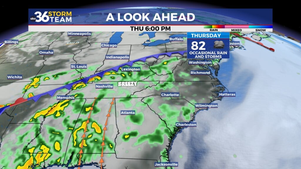
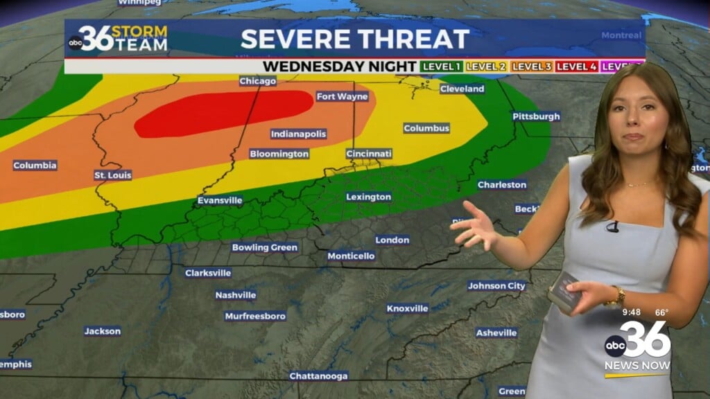
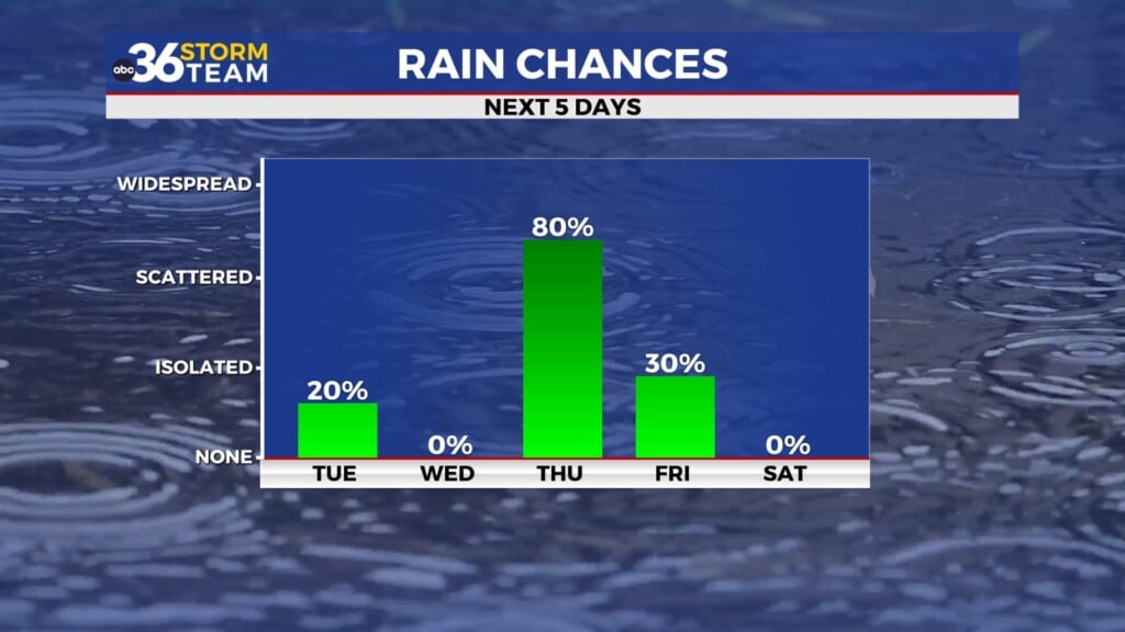
Attention then turns to the storm threat on Thursday. All of the ABC 36 viewing area is under a Level 1 Risk (Marginal Risk) for severe. Damaging wind gusts and minor flooding will be the two primary threats. Wind gusts as high as 50-55 MPH will occur even outside of the strong storms. Within the strong storms damaging wind gusts will be possible. Widespread flooding is not expected but isolated minor flooding will be possible in areas that are susceptible to flooding.
TUESDAY: Sunny and mild, slight southerly breeze. Highs in the mid-50s.
TUESDAY NIGHT: Mostly clear and not as cold. Lows in the mid-to-upper 30s.
WEDNESDAY: Clouds building with gusty winds. Highs in the mid-60s. Wind gusts upwards of 40-45+ MPH.
Leave a Reply