We Are Tracking Our Major Storm Through The Evening
A rainy day for us with temperatures sliding towards 32. The transition to freezing rain has generally lagged behind projections (that is good) and many spots are seeing more precipitation in the form of sleet vs. freezing rain (also good). The night is still young, though. The slow-moving system continues NW-SE tonight. Unfortunately, the potential for freezing rain (ice) is there. The threat is generally lower as you work your way NW-SE.
Tonight: Rain/Freezing rain/sleet/snow continue. Most precipitation will have passed by midnight. North winds 10-15 mph. A low of 20.
Friday: Precipitation lingers. Probably light snow in Lexington. A cold high of 29. North winds 10-15.
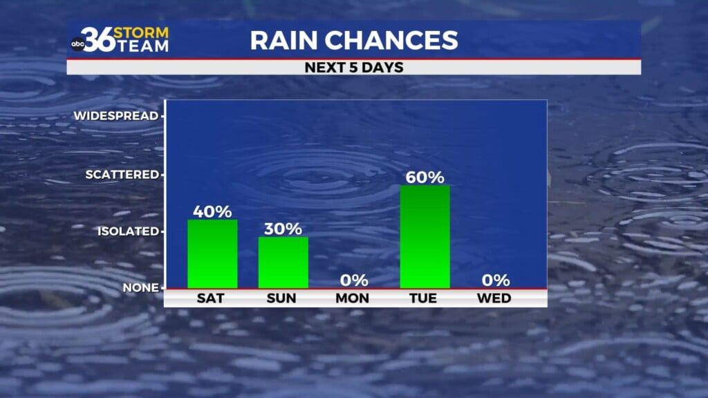
Saturday: Fairly sunny but cold. A high of 30
Sunday: Better. Mostly sunny and a high of 40.
Monday: Partly sunny and a high of 39.
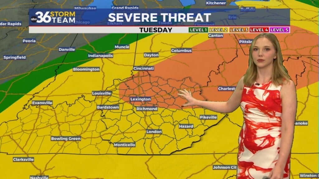
Tuesday: Partly cloudy and a high of 40
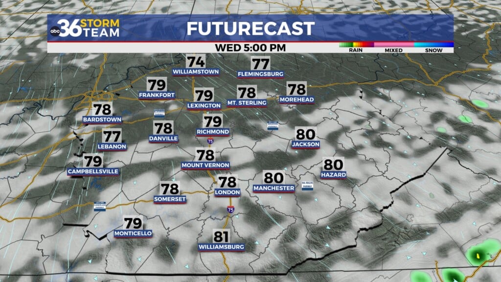
Wednesday: Partly cloudy and a high of 43.
Thursday- Partly sunny and a high of 42.
*Today in weather history
In 1998, an epic snowstorm began in eastern Kentucky. The storm lasted three days. 17.6″ of snow accumulated at the NWS office. 2 feet of snow accumulated in spots north of I-64. Many were without power for several weeks.

Leave a Reply