Turning MUCH Warmer and then Wetter..
After an unseasonably cold few days, sunshine combines with a southwesterly wind to allow temps to jump on Sunday with highs warming into the low to mid 60’s.
The warmth continues into the new work week. However, moisture also returns with a good chance for scattered showers and storms starting Monday.
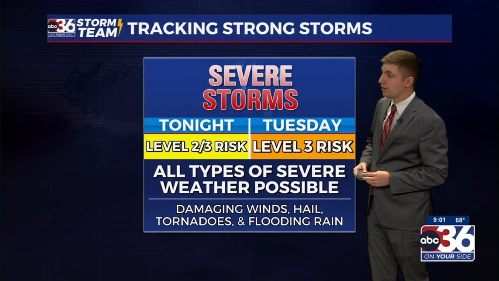
Thanks to a series of fronts and an active jet stream pattern, we’ll see several chances for rain and storms through midweek with storms likely Monday night and returning by late Wednesday and Wednesday night.
This could be a major severe weather maker for the Nation’s Heartland with an outbreak of tornadoes possible across parts of the Plains and much of the Mississippi River Valley.
Strong storms will be a possibility locally as a dynamic front sweeps through the region. We’ll see much calmer conditions arriving for the end of the week as we head towards Good Friday with seasonably mild temps.
SUNDAY: Sunny, turning much warmer. High 62°
MONDAY: Mostly cloudy with scattered showers and a few storms. High 65°
TUESDAY: Mostly cloudy and warm with small storm chance. High 70°
WEDNESDAY: Storms developing. Possibly strong late. High 72°
-Meteorologist Jeremy Kappell


